
![]() Download TDEM Product Description
Download TDEM Product Description
Download 1D Inversion Tutorial
Download Ground TDEM demo database
(works with our EMIGMA Demo)
The TDEM software package is designed for Ground, Airborne and Borehole surveys and can be acquired as part of EMIGMA Premium Complete, as an add-on to other EMIGMA Premium licenses or as a standalone product.
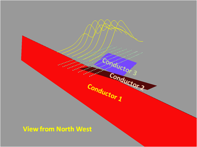
Ground applications include fixed and moving loop configurations, with measurements taken at the surface (inside and/or outside of the loop), while borehole applications are based on a fixed transmitter with measurements down a borehole (with a probe). Airborne surveys are typically moving loop systems. However, fixed loop transmitter with receivers mounted on UAV is also supported. Grounded transmitters with moving receivers in the time domain is supported at present only with forward modeling. EMIGMA allows for both single- and multi-component receivers. Typical field conventions are used for data components and modeling.
EMIGMA is an excellent tool for geophysical survey design as well as for interpreting measured data. The user may utilize single loops, profiles or boreholes or integrate multiple loops, profiles or boreholes. Visualization tools allow one to view the survey geometries in 2D and 3D modes.
Because EMIGMA is a true database, a single database may contain all of your TDEM surveys for a project area as well as your magnetic data, for example.
Data Import
- Calibrated import and system setup from the manufacturers' formats including Geonics Protem and EM61/63, Zonge, TerraTEM, UTEM, SIROTEM, Crone, TEM-FAST, Phoenix
- VTEM, SkyTEM, XCite, Genesis, Tempest and for archived data from older AEM systems
- Generic AMIRA format for ground and borehole
- Free import development for new instruments
Data Processing and Correction
- 1D digital and spatial filters
- Simple and weighted averaging decimation
- Various Data Processing and Correction tools
- All licenses include QCTool for full suite of processing and mapping tools
Data Display and Analyses
- Quick toggles between time channels, profiles, transmitters, etc
- Multi-channel grids containing all time windows and components
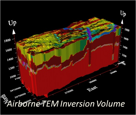
- 2D representation of geoelectric sections
- Grids: Natural Neighbor, Delauney Triangulation, Shepard & True-to-Data, Minimum Curvature and Thin-Plate-Splines
- Contours: 2D and 3D surfaces
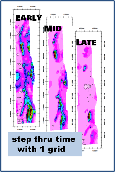
- Time decay contours
- Survey Viewer and Editing tool
- Residual plots
- For more detailed data display capabilities, see EMIGMA Complete
3D Modeling
and simulated data overlay
- Fast and accurate 3D simulations: model suite generation and batch mode
- Two Thin-Sheet algorithms, high accuracy sphere models
- Unlimited prism, thin-sheet plate and polyhedra targets
e.g. pipes (hollow cylinders with or without lids), ellipsoids, shells, bullets, landmines, drums, spheres, general polyhedra... - Multiple body interactions
- Variations in resistivity, susceptibility and Cole-Cole parameters
- Modeling all magnetic effects in EM data
- Ability to handle full contrast between host and bodies
- Interactive 3D model building tool
- CAD model imports and exports
1D Inversion
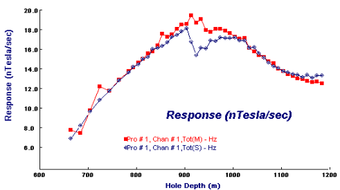
- In-Loop, Out-of-Loop inversions for moving and fixed transmitter configurations
- Smooth Occam and non-smooth Marquardt style algorithms
- Incorporation of GPS_Z information
- Multi-station inversions for laterally constrained results
- Multi-component inversions to reduce model ambiguity
- Ground, airborne and borehole surveys
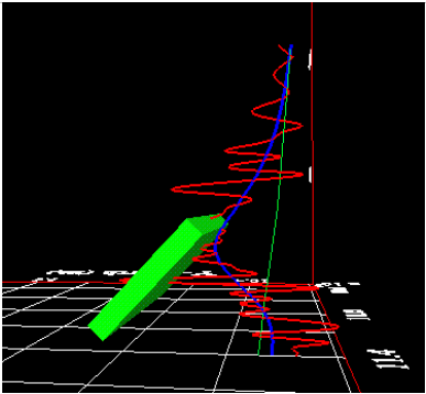
3D Thin Sheet Plate Inversions
- Single or multi-plate inversions
- Multi-component, multi-loop
- Background response can be included
- Time windows controls
- Full constraints
- Starting models allowed
Data and Model Export
- 3D Model Export to CAD and AutoCAD formats
- Depth slice and cross-section exports for 1D inversions and volume exports to XYZ ASCII file
- Model data and processed data exports
- Export complete analyses to other EMIGMA databases
- Free viewer for sharing results